River Conditions
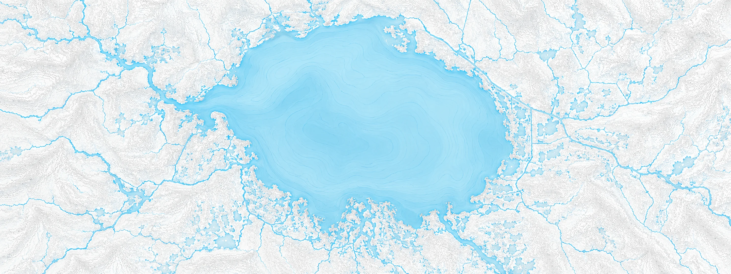
Illustrated map of Lake Okeechobee

River stage

Statenville, Alapaha River

River level
87.44 ft
Status
Below flood stage
Action stage
90.00 ft
Flood stage
100.00 ft
Record crest
107.62 ft

Last reported 2026-10-13 | NWS STNG1

Readings
122
Record crest
107.62 ft
Flood stage
100.00 ft
Moderate flood
101.00 ft
Major flood
103.00 ft

In brief

The Alapaha River at Statenville, GA read 87.44 ft on Oct 13, 2026, 2.56 ft below action stage.

Source: National Weather Service gauge STNG1

Stage threshold profile

Action stage 90.00 ftMinor flooding 100.00 ftModerate flooding 101.00 ftMajor flooding 103.00 ft CURRENT 87.44 ft

Highest crests on record

RankCrestDate
1 107.62 ft 2009-04-07
2 105.90 ft 1948-04-06
3 105.60 ft 1998-03-15
4 105.51 ft 2013-03-04
5 105.02 ft 1991-02-01
6 104.88 ft 1993-01-21
7 104.68 ft 1986-02-17
8 104.60 ft 1928-05-01

Flood crests recorded at this gauge by the National Weather Service.

What happens at each level

  1. 92.00 ft

    Griner Road in Mayday begins to flood. This isolates 10 homes in the area. Flooding along the road subsides 2 to 3 days after the river crests in Statenville or when the river falls below 96 feet.

  2. 100.00 ft

    The boat ramp near the gauge and adjacent parking lot are flooded.

  3. 103.00 ft

    Homes along the river in Statenville and Griner Road become inundated.

  4. 107.00 ft

    Willow Lakes Estates recreational fishing area is completely flooded including most of Valentine Road.

Written by the local National Weather Service forecast office for this exact gauge.

Frequently asked questions

Is the Alapaha River flooding at Statenville?

No. The Alapaha River at Statenville is at 87.44 ft, 2.56 ft below action stage.

What is the flood stage at Statenville?

The National Weather Service sets action stage 90 ft, minor flooding 100 ft, moderate flooding 101 ft and major flooding 103 ft.

What is the highest the Alapaha River has been at Statenville?

The highest crest on record is 107.62 ft, on 2009-04-07.

Stage and flood information from the NOAA National Weather Service (gauge STNG1); daily history from the U.S. Geological Survey (site 02317500). Last reading 2026-10-13. For flood safety decisions always follow official National Weather Service warnings.