River Conditions
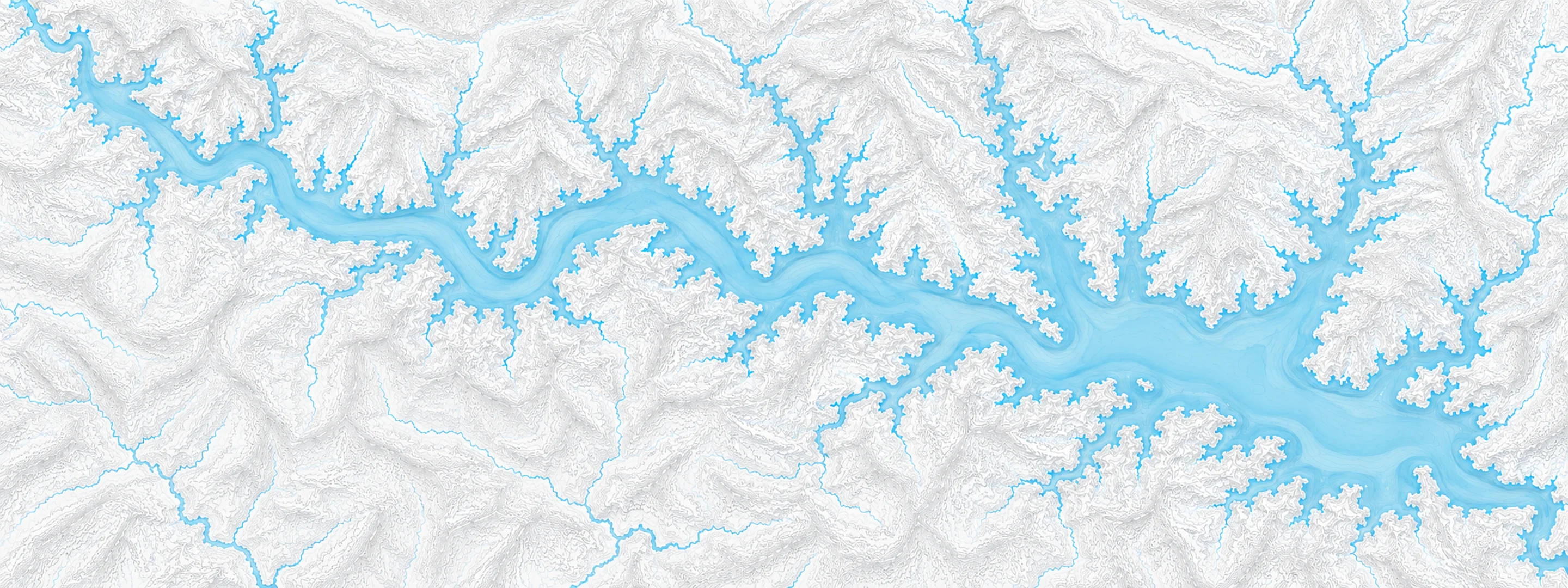
Illustrated map of Beaver Lake

River stage

Canon City, Arkansas River

River level
5.38 ft
Status
Below flood stage
Action stage
9.00 ft
Flood stage
10.00 ft
Record crest
10.90 ft

Last reported 2026-10-13 | NWS CNCC2

Readings
1427
Record crest
10.90 ft
Flood stage
10.00 ft
Moderate flood
12.00 ft
Major flood
14.00 ft

In brief

The Arkansas River at Canon City, CO read 5.38 ft on Oct 13, 2026, 3.62 ft below action stage.

Source: National Weather Service gauge CNCC2

Stage threshold profile

Action stage 9.00 ftMinor flooding 10.00 ftModerate flooding 12.00 ftMajor flooding 14.00 ft CURRENT 5.38 ft

Highest crests on record

RankCrestDate
1 10.90 ft 1995-06-18
2 10.56 ft 2019-06-18
3 10.42 ft 2015-06-21
4 10.08 ft 1983-06-27
5 10.05 ft 1980-06-12
6 10.02 ft 2024-06-10
7 9.80 ft 2010-06-07
8 9.78 ft 1997-06-21

Flood crests recorded at this gauge by the National Weather Service.

What happens at each level

  1. 8.00 ft

    The river is bankfull

  2. 10.00 ft

    Minor flood. Minor overbank flow occurs into low lying areas along river. Water overtops screens at Canon City water supply intake

  3. 12.00 ft

    Moderate Flood. Serious lowland and meadow flooding occurs

  4. 13.50 ft

    Water spills into Centennial Park near 4th Street Bridge

  5. 14.00 ft

    Major Flood. Basements flood in homes near 9th Street Bridge

  6. 14.50 ft

    Water overtops levee along Riverside Drive flooding nearby homes and businesses

  7. 15.00 ft

    Flood waters inundate homes and businesses near 4th Street Bridge

  8. 15.50 ft

    Water rises into Royal Gorge Train Depot parking lot

  9. 16.00 ft

    Water reaches base of 9th Street Bridge and flows into nearby oil distribution complex

  10. 18.00 ft

    Flood waters inundate numerous homes and power plant in western Canon City

Written by the local National Weather Service forecast office for this exact gauge.

Water 60 °F (16 °C) · 9 °F warmer than normal for this date · -1 °F in 24 hours

Frequently asked questions

Is the Arkansas River flooding at Canon City?

No. The Arkansas River at Canon City is at 5.38 ft, 3.62 ft below action stage.

What is the flood stage at Canon City?

The National Weather Service sets action stage 9 ft, minor flooding 10 ft, moderate flooding 12 ft and major flooding 14 ft.

What is the highest the Arkansas River has been at Canon City?

The highest crest on record is 10.9 ft, on 1995-06-18.

How warm is the water at Canon City, Arkansas River?

The water temperature at Canon City, Arkansas River is 60 °F (15.7 °C), measured 7:15 pm by USGS, which is 9 °F warmer than normal for this date over the past ten years. It has fallen 1.2 °F in the last 24 hours.

Stage and flood information from the NOAA National Weather Service (gauge CNCC2); daily history from the U.S. Geological Survey (site 07096000). Last reading 2026-10-13. For flood safety decisions always follow official National Weather Service warnings.