River Conditions
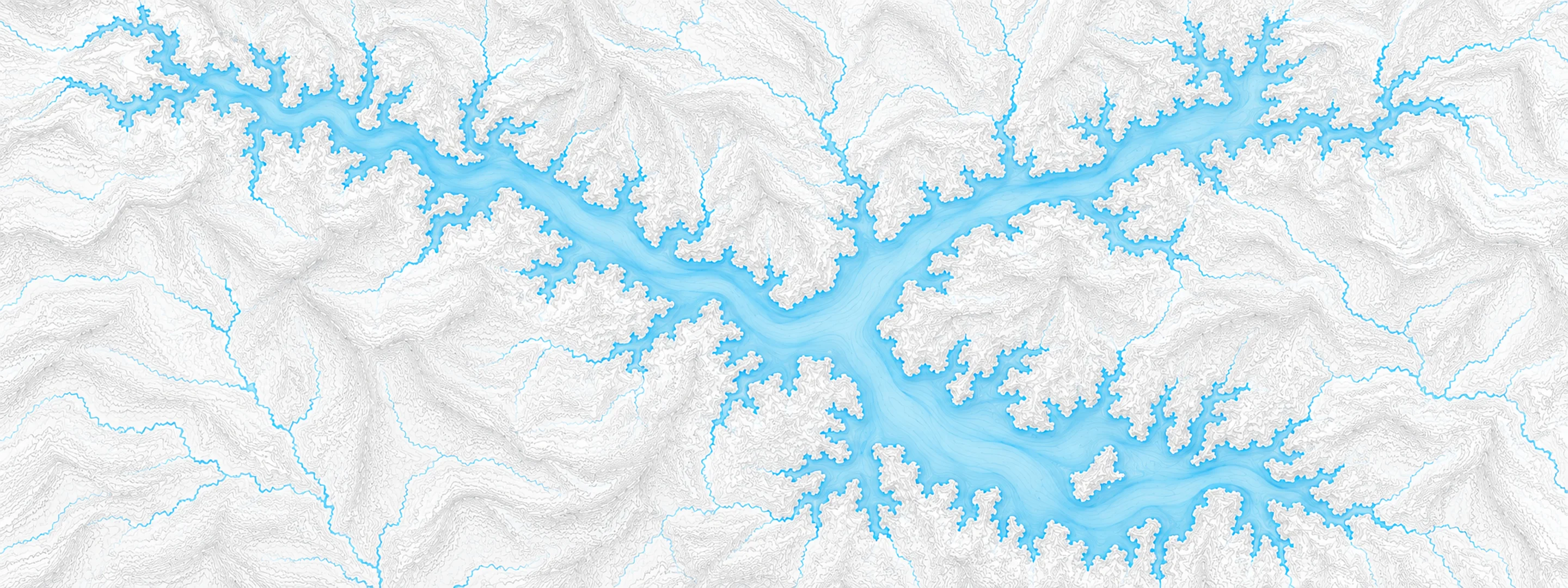
Illustrated map of Smith Mountain Lake

River stage

Buchanan, James River

River level
4.64 ft
Status
Below flood stage
Action stage
11.00 ft
Flood stage
17.00 ft
Record crest
38.84 ft

Last reported 2026-10-13 | NWS BNNV2

Record crest
38.84 ft
Flood stage
17.00 ft
Moderate flood
21.00 ft
Major flood
26.00 ft
Crest date
1985-11-05

In brief

The James River at Buchanan, VA read 4.64 ft on Oct 13, 2026, 6.36 ft below action stage.

Source: National Weather Service gauge BNNV2

Stage threshold profile

Action stage 11.00 ftMinor flooding 17.00 ftModerate flooding 21.00 ftMajor flooding 26.00 ft CURRENT 4.64 ft

Highest crests on record

RankCrestDate
1 38.84 ft 1985-11-05
2 31.00 ft 1913-03-27
3 30.49 ft 1972-06-22
4 29.26 ft 1996-01-20
5 26.80 ft 1936-03-18
6 25.66 ft 2004-09-29
7 25.00 ft 1902-03-01
8 24.81 ft 1986-04-16

Flood crests recorded at this gauge by the National Weather Service.

What happens at each level

  1. 2.00 ft

    Below this stage the river may be too low for boating activities.

  2. 2.40 ft

    Stages between 2.4 and 4 feet are considered ideal for boating activities.

  3. 4.00 ft

    Caution is suggested for James River boaters..between 4 and 6 feet.

  4. 6.00 ft

    Stages above 6 feet are considered too high for all but expert boaters.

  5. 16.00 ft

    Route 43 (Parkway Drive) is closed as water starts to reach the road.

  6. 17.00 ft

    Right bank above gage and flats above town on left bank are inundated. Mostly agricultural lands affected.

  7. 20.00 ft

    Farmlands and residential basements of buildings upstream (right bank) become flooded.

  8. 22.00 ft

    Additional buildings upstream of gage, and farmland flooding begins in vicinity of the gage.

Written by the local National Weather Service forecast office for this exact gauge.

At this level: Caution is suggested for James River boaters..between 4 and 6 feet.

Frequently asked questions

Is the James River flooding at Buchanan?

No. The James River at Buchanan is at 4.64 ft, 6.36 ft below action stage.

What is the flood stage at Buchanan?

The National Weather Service sets action stage 11 ft, minor flooding 17 ft, moderate flooding 21 ft and major flooding 26 ft.

What is the highest the James River has been at Buchanan?

The highest crest on record is 38.84 ft, on 1985-11-05.

Stage and flood information from the NOAA National Weather Service (gauge BNNV2); daily history from the U.S. Geological Survey (site 02080201). Last reading 2026-10-13. For flood safety decisions always follow official National Weather Service warnings.