River Conditions
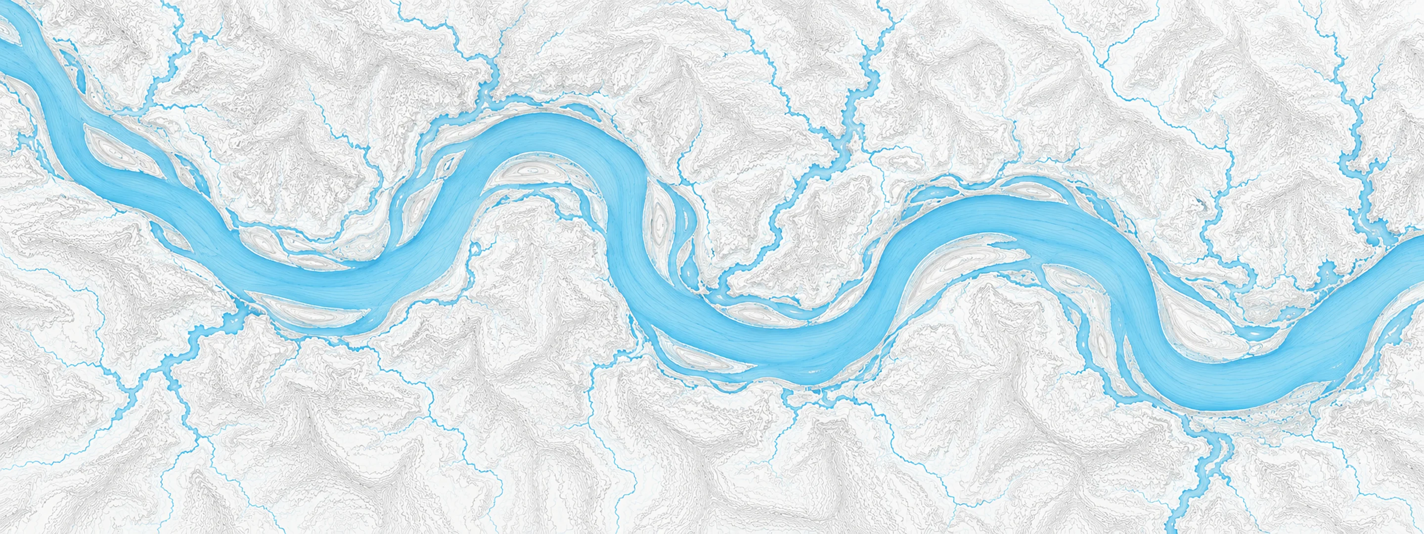
Illustrated map of Ohio River

River stage

Clifty Creek, Ohio River

River level
424.86 ft
Status
Below flood stage
Action stage
449.00 ft
Flood stage
451.00 ft
Record crest
475.90 ft

Last reported 2026-10-13 | NWS CLFI3

Record crest
475.90 ft
Flood stage
451.00 ft
Moderate flood
457.00 ft
Major flood
470.00 ft
Crest date
1937-01-27

In brief

The Ohio River at Clifty Creek, IN read 424.86 ft on Oct 13, 2026, 24.14 ft below action stage.

Source: National Weather Service gauge CLFI3

Stage threshold profile

Action stage 449.00 ftMinor flooding 451.00 ftModerate flooding 457.00 ftMajor flooding 470.00 ft CURRENT 424.86 ft

Highest crests on record

RankCrestDate
1 475.90 ft 1937-01-27
2 464.30 ft 1884-02-15
3 464.00 ft 1945-03-08
4 463.20 ft 1964-03-12
5 463.00 ft 1913-04-01
6 462.40 ft 1943-01-05
7 461.80 ft 1883-02-01
8 460.90 ft 1997-03-07

Flood crests recorded at this gauge by the National Weather Service.

What happens at each level

  1. 446.00 ft

    Bottomland begins to flood.

  2. 447.00 ft

    Road to Hanover Beach is closed.

  3. 449.00 ft

    Lower parts of Milton KY flood. Public landing at Madison floods.

  4. 453.00 ft

    Water floods Vaughn Drive in Madison in southwest. Water floods city campground in southeast. Water reaches State Highway 56 toward Vevay.

  5. 457.00 ft

    Water covers the west end of First St. Half of Milton KY is flooded. Entrance to Clifty Creek State Park is flooded.

  6. 458.00 ft

    Water reaches State Highway 56 east of Clifty Creek Power Plant. Clifty Creek Park south entrance floods.

  7. 464.00 ft

    IN 56 floods at Clifty Creek bridge.

  8. 466.00 ft

    Water reaches main floor of Clifty Creek Power Plant.

  9. 468.00 ft

    Other homes in the west end of Madison are flooded.

  10. 471.00 ft

    Flooding begins in Bethlehem IN.

Written by the local National Weather Service forecast office for this exact gauge.

Frequently asked questions

Is the Ohio River flooding at Clifty Creek?

No. The Ohio River at Clifty Creek is at 424.86 ft, 24.14 ft below action stage.

What is the flood stage at Clifty Creek?

The National Weather Service sets action stage 449 ft, minor flooding 451 ft, moderate flooding 457 ft and major flooding 470 ft.

What is the highest the Ohio River has been at Clifty Creek?

The highest crest on record is 475.9 ft, on 1937-01-27.

Stage and flood information from the NOAA National Weather Service (gauge CLFI3). Last reading 2026-10-13. For flood safety decisions always follow official National Weather Service warnings.