River Conditions
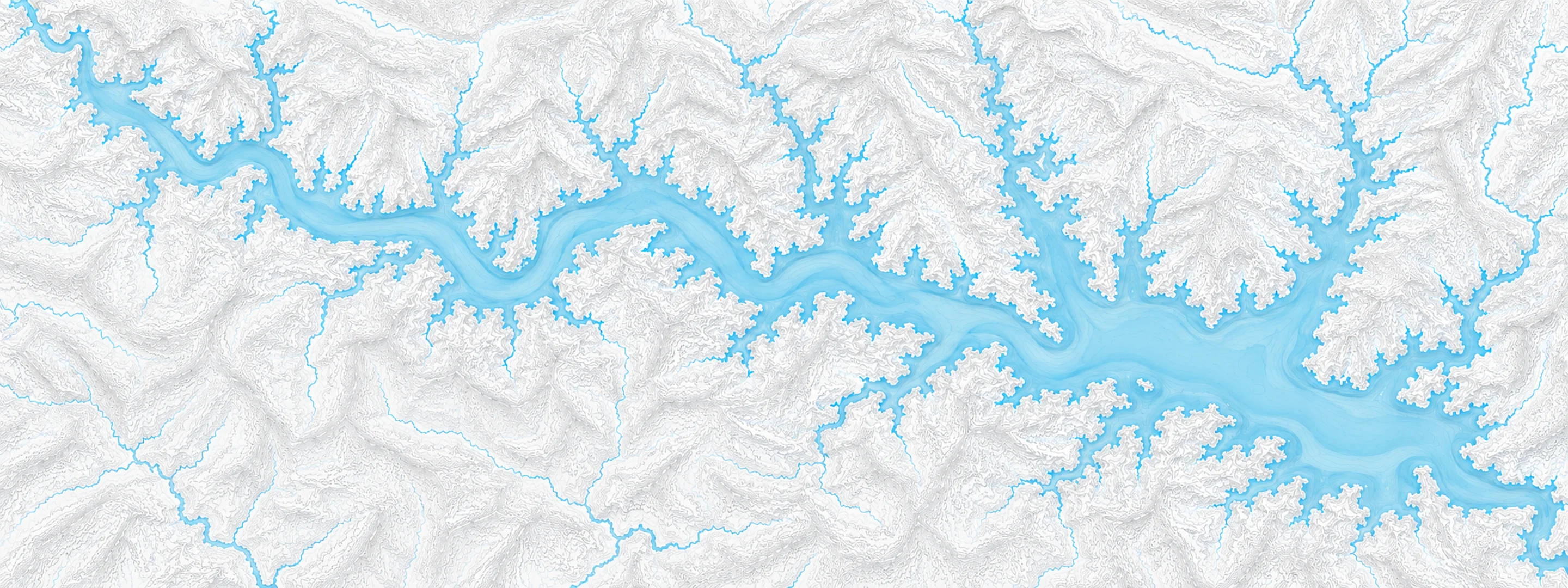
Illustrated map of Beaver Lake

River stage

Thatcher L&D, Ouachita River

River level
77.40 ft
Status
Below flood stage
Action stage
78.50 ft
Flood stage
79.00 ft
Record crest
96.30 ft

Last reported 2026-10-13 | NWS CALA4

Record crest
96.30 ft
Flood stage
79.00 ft
Moderate flood
88.00 ft
Major flood
94.00 ft
Crest date
1945-04-06

In brief

The Ouachita River at Thatcher L&D, AR read 77.40 ft on Oct 13, 2026, 1.10 ft below action stage.

Source: National Weather Service gauge CALA4

Stage threshold profile

Action stage 78.50 ftMinor flooding 79.00 ftModerate flooding 88.00 ftMajor flooding 94.00 ft CURRENT 77.40 ft

Highest crests on record

RankCrestDate
1 96.30 ft 1945-04-06
2 94.90 ft 1968-05-23
3 93.69 ft 2018-03-02
4 93.60 ft 1988-01-01
5 93.00 ft 2009-05-14
6 92.50 ft 1973-04-28
7 92.25 ft 2025-04-12
8 92.00 ft 2009-12-31

Flood crests recorded at this gauge by the National Weather Service.

What happens at each level

  1. 79.00 ft

    Property in low lying areas needs to be removed. Access roads to oil and gas rigs may be flooded. Levee gates should be closed before the river reaches 80 feet. There is minor flooding at this level.

  2. 80.00 ft

    Minor flooding occurs at this level. Levee gates should be closed to prevent the river from backing into Calion Lake. Access to oil and gas rigs and to timber is flooded. There is wide coverage of flooding in the river bottoms.

  3. 83.00 ft

    Access to oil and gas rigs and to timber is flooded. Calhoun County Road 131 is completely under water leading to old Lock 8 river access.

  4. 85.00 ft

    There may be some County roads along the river flooded, requiring lengthy detours. River is high and swift, boaters should be very cautious. Access to many oil and gas rigs will be by boat only. Levee gates should be closed.

  5. 88.00 ft

    River is high enough to stop drainage from Calion Lake. Heavy rainfall in the area could cause the lake to rise towards several homes along the shore. Downstream, water rising into undeveloped areas of the State Park at Moro Bay. Widespread flooding of timber, with access to many oil and gas rigs flooded.

  6. 90.00 ft

    Access to Thatcher Lock and Dam may be affected. Many oil and gas rigs in the river bottoms can be reached by boat only. Runoff into Calion Lake cannot drain to the river. Levee gates should be closed. Downstream, minor impacts to the Moro Bay State Park, some shallow water may be over the road to the campground.

  7. 92.00 ft

    From Calion to Thatcher Lock and Dam, the road along the levee may be affected. Some roads in Moro Bay State Park are flooded. Problems with Calion lake drainage. Heavy rain in the area could cause homes along the Lake Shore to be threatened by rising lake levels.

  8. 94.00 ft

    Serious flooding begins, gap in floodwall near Calion Sawmill may need to be closed. River crested at 93.6 feet in January 1988, the highest level since completion of upstream flood control reservoirs. Calion Lake levee gates closed and runoff into lake cannot drain. Heavy rainfall in area could raise the lake level enough to threaten homes along shore. Areas of Moro Bay State Park flooded. Structures in the park probably high enough to stay dry.

  9. 96.00 ft

    Crest of record, 96.3 feet in April 1945. Very serious situation, extent of damages not entirely known. Possible road and structural flooding from near Calion downstream to the Moro Bay State Park vicinity.

Written by the local National Weather Service forecast office for this exact gauge.

Frequently asked questions

Is the Ouachita River flooding at Thatcher L&D?

No. The Ouachita River at Thatcher L&D is at 77.4 ft, 1.1 ft below action stage.

What is the flood stage at Thatcher L&D?

The National Weather Service sets action stage 78.5 ft, minor flooding 79 ft, moderate flooding 88 ft and major flooding 94 ft.

What is the highest the Ouachita River has been at Thatcher L&D?

The highest crest on record is 96.3 ft, on 1945-04-06.

Stage and flood information from the NOAA National Weather Service (gauge CALA4); daily history from the U.S. Geological Survey (site 07362400). Last reading 2026-10-13. For flood safety decisions always follow official National Weather Service warnings.