River Conditions
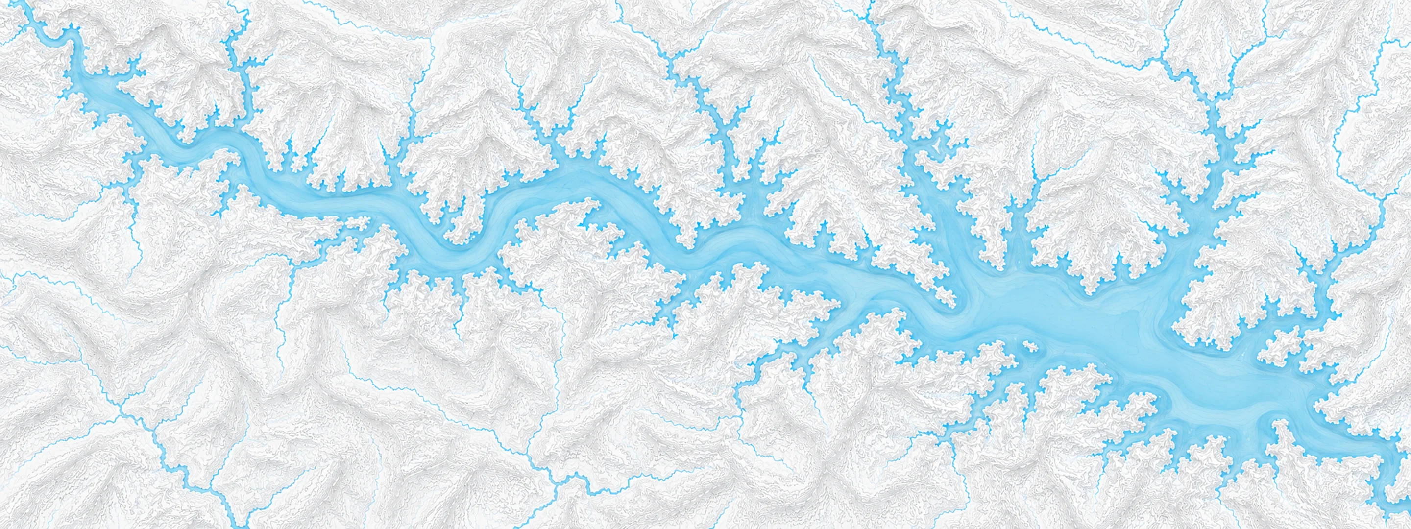
Illustrated map of Beaver Lake

River stage

Shreveport, Red River

River level
13.54 ft
Status
Below flood stage
Action stage
26.00 ft
Flood stage
30.00 ft
Record crest
45.90 ft

Last reported 2026-10-13 | NWS SVPL1

Record crest
45.90 ft
Flood stage
30.00 ft
Moderate flood
31.50 ft
Major flood
33.00 ft
Crest date
1849-08-10

In brief

The Red River at Shreveport, LA read 13.54 ft on Oct 13, 2026, 12.46 ft below action stage.

Source: National Weather Service gauge SVPL1

Stage threshold profile

Action stage 26.00 ftMinor flooding 30.00 ftModerate flooding 31.50 ftMajor flooding 33.00 ft CURRENT 13.54 ft

Highest crests on record

RankCrestDate
1 45.90 ft 1849-08-10
2 45.70 ft 1892-05-28
3 45.10 ft 1908-06-15
4 44.70 ft 1890-02-08
5 44.40 ft 1894-04-02
6 44.10 ft 1902-12-15
7 43.60 ft 1905-06-09
8 43.10 ft 1903-03-22

Flood crests recorded at this gauge by the National Weather Service.

What happens at each level

  1. 23.00 ft

    Low land areas inundate next to C. Bickham Dixon park. Bank erosion problems begin as well.

  2. 25.00 ft

    C. Bickham Dixon park is floods and closes to the general public. Moderate bank erosion begins to damage riverbanks in both Shreveport and Bossier City especially next to the bike and walking path alongside the river in Shreveport.

  3. 27.00 ft

    Several hundred acres inundate in the C. Bickham Dixon park area. Also expect moderate to severe bank erosion. Flooding closes the Hamels Memorial Park upstream from Jimmie Davis Bridge.

  4. 30.00 ft

    Russel Road will be overflowed between Blanchard Highway and Interstate 220 in north Shreveport.

  5. 30.50 ft

    Water flows into Traffic Street underneath the Kansas City Southern railroad bridge between Horseshoe Casino and Louisiana Boardwalk in Bossier City.

  6. 31.00 ft

    Russel Road will be overflowed and closed between Blanchard highway and Interstate 220 in north Shreveport. Also expect backwater flooding up Cross Bayou, Twelve Mile Bayou, and lower McCain Creek. High water will creep up to near southern Fant Parkway and near the Teague Parkway.

  7. 32.50 ft

    The area south of Interstate 20 and Traffic street exit and also near Hamilton Road area in Bossier City floods. Also the south part of Martin Luther King drive in north Shreveport is flooded and closed.

  8. 33.00 ft

    Martin Luther King Drive at McCain Creek in north Shreveport flooded and closed.

  9. 33.50 ft

    Portions of Wells Island Road in north Shreveport is flooded and closed. Highway 3349 is flooded and closed that branches off the Wells Island Road.

  10. 34.00 ft

    Old Blanchard Highway just north of the Cross Lake spillway is flooded and closed. Extensive backwater flooding of Cross Bayou and Twelve Mile Bayou begins.

Written by the local National Weather Service forecast office for this exact gauge.

Frequently asked questions

Is the Red River flooding at Shreveport?

No. The Red River at Shreveport is at 13.54 ft, 12.46 ft below action stage.

What is the flood stage at Shreveport?

The National Weather Service sets action stage 26 ft, minor flooding 30 ft, moderate flooding 31.5 ft and major flooding 33 ft.

What is the highest the Red River has been at Shreveport?

The highest crest on record is 45.9 ft, on 1849-08-10.

Stage and flood information from the NOAA National Weather Service (gauge SVPL1); daily history from the U.S. Geological Survey (site 07348500). Last reading 2026-10-13. For flood safety decisions always follow official National Weather Service warnings.