River Conditions
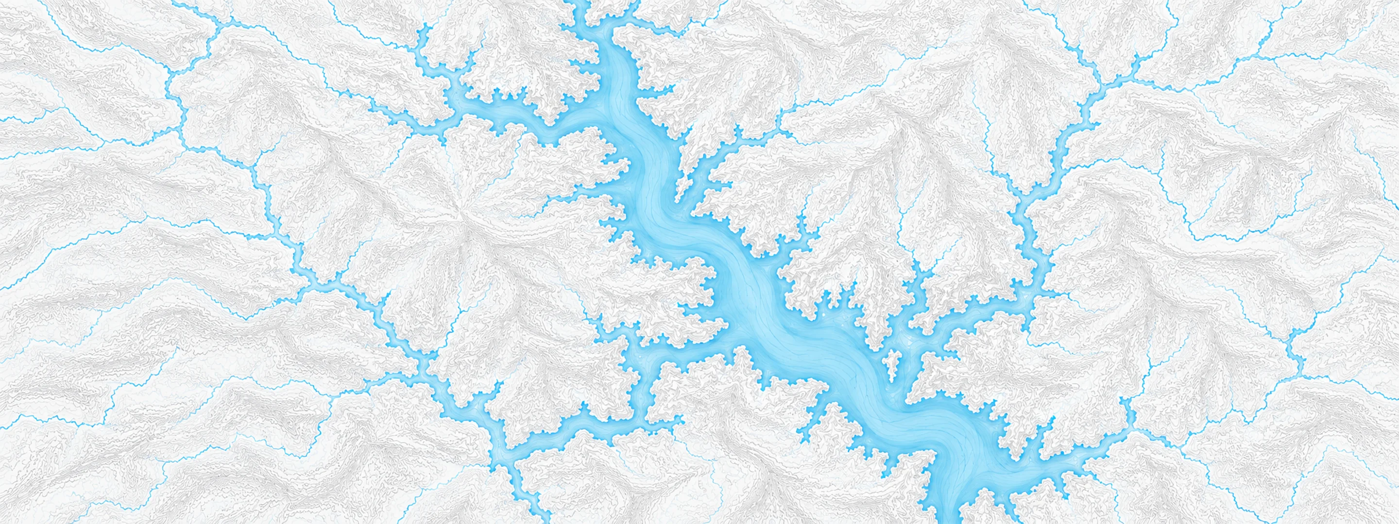
Illustrated map of Brookville Lake

River stage

Monroe Lake, Salt Creek

River level
537.81 ft
Status
Below flood stage
Action stage
556.00 ft
Flood stage
556.00 ft
Record crest
557.28 ft

Last reported 2026-10-13 | NWS MONI3

Record crest
557.28 ft
Flood stage
556.00 ft
Moderate flood
556.00 ft
Major flood
556.00 ft
Crest date
2011-05-04

In brief

The Salt Creek at Monroe Lake, IN read 537.81 ft on Oct 13, 2026, 18.19 ft below action stage.

Source: National Weather Service gauge MONI3

Stage threshold profile

Action stage 556.00 ftMinor flooding 556.00 ftModerate flooding 556.00 ftMajor flooding 556.00 ft CURRENT 537.81 ft

Highest crests on record

RankCrestDate
1 557.28 ft 2011-05-04
2 556.25 ft 2002-05-15
3 555.03 ft 2008-04-13
4 554.95 ft 1996-05-16
5 553.10 ft 2019-02-26
6 552.83 ft 2019-06-30
7 551.55 ft 1983-05-17
8 551.39 ft 2005-01-18

Flood crests recorded at this gauge by the National Weather Service.

What happens at each level

  1. 535.00 ft

    Upper end of lake and east of causeway difficult to use.

  2. 536.00 ft

    Crooked Creek ramp closed.

  3. 537.00 ft

    Courtesy Dock adjusted.

  4. 538.00 ft

    Year Round Pool Elevation. Normal Pool covers 10,750 acres and stretches for 37 miles.

  5. 540.00 ft

    Lake Monroe Sailing Association jib cranes flooded.

  6. 541.00 ft

    Drainage for marshes stopped. Many crop lease fields flooded.

  7. 543.00 ft

    Paynetown beach and McGowan road to Northfork flooded. Water covers back platform of tower including emergency gate and bypass bulkhead slots. There is a 100% annual chance of occurrence of this level.

  8. 544.00 ft

    Friendship, Stipp, and upper end of Moores Creek roads closed.

  9. 545.00 ft

    Fairfax and Hardin Ridge beaches closed. There is a 50% annual chance of occurrence of this level.

  10. 546.00 ft

    Fairfax, Paynetown and Cutright ramps flooded.

Written by the local National Weather Service forecast office for this exact gauge.

At this level: Courtesy Dock adjusted.

Frequently asked questions

Is the Salt Creek flooding at Monroe Lake?

No. The Salt Creek at Monroe Lake is at 537.81 ft, 18.19 ft below action stage.

What is the flood stage at Monroe Lake?

The National Weather Service sets action stage 556 ft, minor flooding 556 ft, moderate flooding 556 ft and major flooding 556 ft.

What is the highest the Salt Creek has been at Monroe Lake?

The highest crest on record is 557.28 ft, on 2011-05-04.

Stage and flood information from the NOAA National Weather Service (gauge MONI3); daily history from the U.S. Geological Survey (site 03372400). Last reading 2026-10-13. For flood safety decisions always follow official National Weather Service warnings.