River Conditions
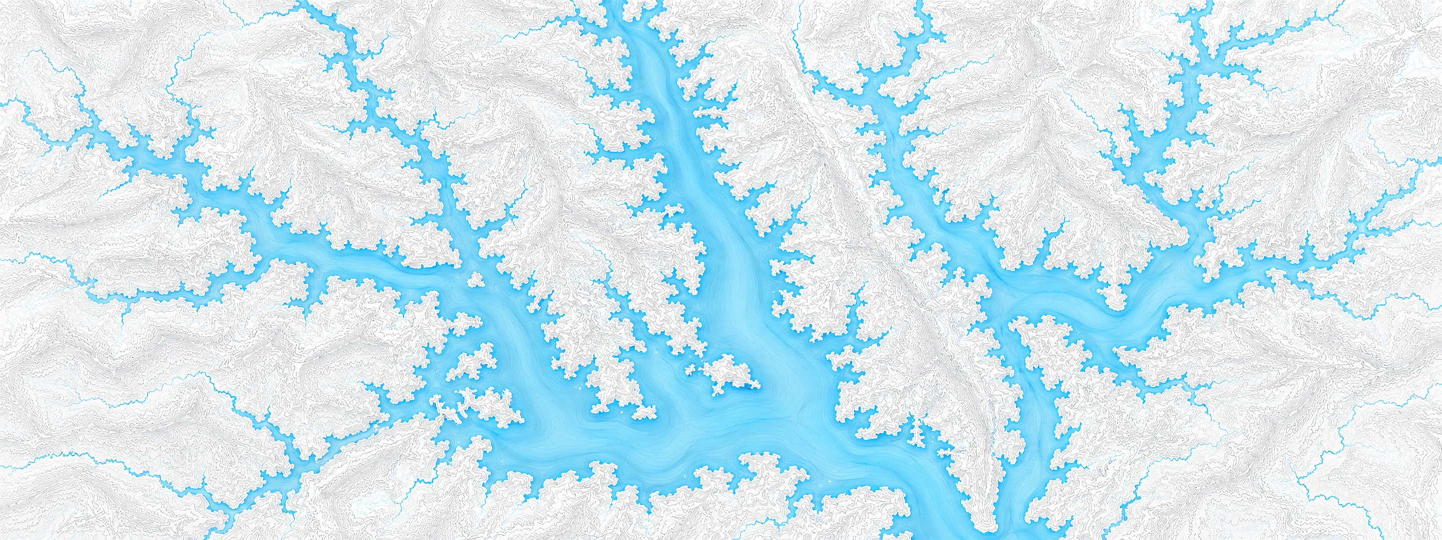
Illustrated map of Kentucky Lake

River stage

Taylorsville Lake, Salt River

River level
546.32 ft
Status
Below flood stage
Action stage
590.00 ft
Flood stage
592.00 ft
Record crest
592.20 ft

Last reported 2026-10-13 | NWS TVLK2

Readings
122
Record crest
592.20 ft
Flood stage
592.00 ft
Moderate flood
592.00 ft
Major flood
597.00 ft

In brief

The Salt River at Taylorsville Lake, KY read 546.32 ft on Oct 13, 2026, 43.68 ft below action stage.

Source: National Weather Service gauge TVLK2

Stage threshold profile

Action stage 590.00 ftMinor flooding 592.00 ftModerate flooding 592.00 ftMajor flooding 597.00 ft CURRENT 546.32 ft

Highest crests on record

RankCrestDate
1 592.20 ft 2011-05-05
2 586.50 ft 1997-03-11
3 580.80 ft 2025-04-11
4 580.40 ft 1989-02-23
5 579.80 ft 1991-01-12
6 575.80 ft 2015-04-16
7 571.90 ft 2010-05-05
8 571.70 ft 2008-04-07

Flood crests recorded at this gauge by the National Weather Service.

What happens at each level

  1. 519.00 ft

    Water below lower end of Settlers Trace ramp.

  2. 537.60 ft

    Water below lower end of Ashes Creek ramp.

  3. 538.00 ft

    Water below lower end of Chowning Lane ramp.

  4. 545.00 ft

    Winter Pool

  5. 547.00 ft

    Summer Pool

  6. 558.00 ft

    Boat launch difficult and limited parking at Settlers Trace ramp.

  7. 562.00 ft

    Settlers Trace area inaccessible by road, causeway inundated.

  8. 563.00 ft

    Boat launch difficult and limited parking at Chowning Lane ramp.

  9. 565.00 ft

    Boat launch difficult and limited parking at Van Buren ramp.

  10. 592.00 ft

    Flood pool, spillway elevation.

Written by the local National Weather Service forecast office for this exact gauge.

At this level: Winter Pool

Water 73 °F (23 °C) · 6 °F warmer than normal for this date

Frequently asked questions

Is the Salt River flooding at Taylorsville Lake?

No. The Salt River at Taylorsville Lake is at 546.32 ft, 43.68 ft below action stage.

What is the flood stage at Taylorsville Lake?

The National Weather Service sets action stage 590 ft, minor flooding 592 ft, moderate flooding 592 ft and major flooding 597 ft.

What is the highest the Salt River has been at Taylorsville Lake?

The highest crest on record is 592.2 ft, on 2011-05-05.

How warm is the water at Taylorsville Lake, Salt River?

The water temperature at Taylorsville Lake, Salt River is 73 °F (22.7 °C), measured 7:30 pm by USGS, which is 6 °F warmer than normal for this date over the past ten years. It has held steady over the last 24 hours.

Stage and flood information from the NOAA National Weather Service (gauge TVLK2); daily history from the U.S. Geological Survey (site 03295597). Last reading 2026-10-13. For flood safety decisions always follow official National Weather Service warnings.