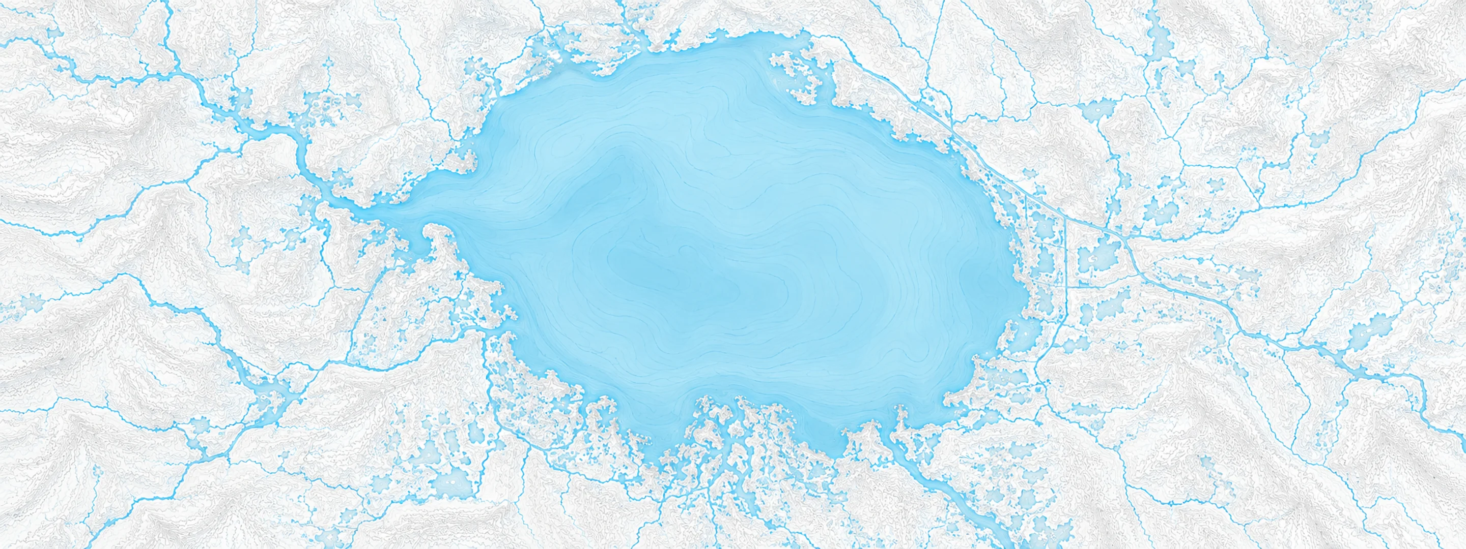
The Santa Fe River at Worthington Springs, FL read 57.70 ft on Oct 13, 2026, 1.30 ft below minor flood stage.
Source: National Weather Service gauge WORF1
Stage threshold profile
Highest crests on record
Rank
Crest
Date
1
71.17 ft
2017-09-12
2
70.31 ft
1964-09-13
3
67.46 ft
1992-10-05
4
66.94 ft
2012-06-28
5
66.85 ft
1944-10-21
6
66.74 ft
1934-06-17
7
66.59 ft
1968-09-01
8
66.52 ft
1941-10-22
Flood crests recorded at this gauge by the National Weather Service.
What happens at each level
56.00 ft
The boat ramp and floating dock at Chastain-Seay Park in Worthington Springs begin to flood.
58.00 ft
Picnic Areas and campsites at Chastain-Seay Park in Worthington Springs begin to flood.
59.00 ft
Chastain-Seay Park in Worthington Springs is generally closed to the public as access roads within the park become flooded.
60.00 ft
A driveway near Southwest 102nd Court in Union County begins to flood at this level. Flooding along the river continues to impact boat ramps, docks and campgrounds in the area.
62.00 ft
In Union County, flooding expands across farm land south of County Road 18 and approaches the road surface about 1 mile east of Southwest County Road 241.
63.00 ft
Southwest 99th Avenue in Union County begins to flood.
64.00 ft
Southwest 99th Avenue in Union County is subject to closure above this level restricting access to homes near the river. Water begins to approach a couple of residences in the area. Structures south of County Road 18 near Southwest 78th Court begin to flood.
66.00 ft
A home east of Southwest 102nd Avenue near 103rd loop in Union County begins to flood.
69.00 ft
Additional structures on Southwest 99th Avenue in Union County flood.
72.00 ft
The County Road 241 bridge at the Alachua Union County line is subject to closure above this level.
Written by the local National Weather Service forecast office for this
exact gauge.
At this level: The boat ramp and floating dock at Chastain-Seay Park in Worthington Springs begin to flood.
Water 73 °F
(23 °C) · about normal for this date · -1 °F in 24 hours
Other gauges on the Santa Fe River
Frequently asked questions
Is the Santa Fe River flooding at Worthington Springs?
No. The Santa Fe River at Worthington Springs is at 57.7 ft, 1.3 ft below minor flood stage.
What is the flood stage at Worthington Springs?
The National Weather Service sets action stage 56 ft, minor flooding 59 ft, moderate flooding 64 ft and major flooding 66 ft.
What is the highest the Santa Fe River has been at Worthington Springs?
The highest crest on record is 71.17 ft, on 2017-09-12.
How warm is the water at Worthington Springs, Santa Fe River?
The water
temperature at Worthington Springs, Santa Fe River is
73 °F
(23.0 °C), measured
7:15 pm by USGS, which is about average for this date over the
past ten years. It has fallen
1.4 °F in the last 24 hours.
Weekly email
Stage and flood information from the NOAA National
Weather Service (gauge WORF1); daily history from
the U.S. Geological Survey (site 02321500). Last reading
2026-10-13. For flood safety decisions always follow official
National Weather Service warnings.