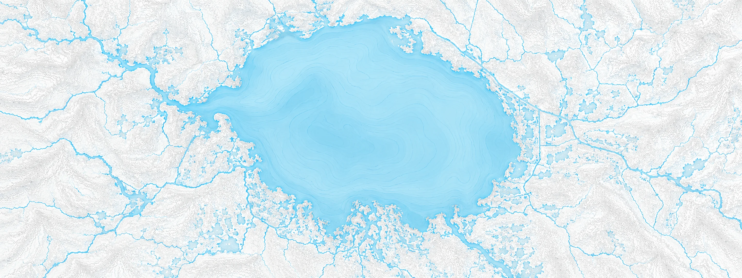
River stage
Astor, St. Johns River
- River level
- 2.90 ft
- Status
- Above minor flood stage
- 7-day change
- +0.56 ft
- Recent high
- 3.17 ft
- Recent low
- 0.64 ft
Last reported 2026-10-13 | NWS ASTF1
- 30-day change
- +0.98 ft
- Average
- 1.37 ft
- Readings
- 122
- Data span
- 122 days
- Record crest
- 4.81 ft
In brief
The St. Johns River at Astor, FL read 2.90 ft on Oct 13, 2026, above minor flood stage. That is 0.98 ft higher than 30 days earlier.
Source: National Weather Service gauge ASTF1
At this level: Docks and boat ramps covered at South Moon Fish Camp and approaching sea wall at Blair's Jungle Den. Water approaching sites closest to the river at Fish Tales RV Resort and Astor Landing Campground. Portion of Clair Street covered by river water south of the Butler Boat Ramp. Docks underwater at the Astor Bridge Marina and along Riveredge Drive. Portions of Fox Road are covered with water nearest to the river. Acorn, Hazelnut and Redbud roads are underwater with yards inundated.
River level timeline
Stage threshold profile
Highest crests on record
| Rank | Crest | Date |
|---|---|---|
| 1 | 4.81 ft | 2024-10-12 |
| 2 | 4.71 ft | 2022-10-01 |
| 3 | 4.52 ft | 2022-11-10 |
| 4 | 4.46 ft | 2017-10-06 |
| 5 | 4.43 ft | 2017-09-13 |
| 6 | 4.18 ft | 2004-09-26 |
| 7 | 4.03 ft | 2017-10-20 |
| 8 | 3.90 ft | 2001-09-17 |
Flood crests recorded at this gauge by the National Weather Service.
What happens at each level
- 2.00 ft
River levels rise and fills canals, encroaching on docks, yards and boat ramps in the vicinity of SR-40. Properties in low areas along and near the river and many canals should prepare for further water encroachment.
- 2.30 ft
Many docks become submerged along the river and in canals in the Astor community. Water enters yards of properties on Bartram Road, Holiday Circle and along Wild Hog Road on the Lake County side. In Volusia County, water encroaches yards of homes on the river side of Alice Drive. No wake zones are in effect from near the South Moon Canal to approximately 800 feet south of the Riverview lodge.
- 2.80 ft
Docks and boat ramps covered at South Moon Fish Camp and approaching sea wall at Blair's Jungle Den. Water approaching sites closest to the river at Fish Tales RV Resort and Astor Landing Campground. Portion of Clair Street covered by river water south of the Butler Boat Ramp. Docks underwater at the Astor Bridge Marina and along Riveredge Drive. Portions of Fox Road are covered with water nearest to the river. Acorn, Hazelnut and Redbud roads are underwater with yards inundated.
- 3.00 ft
Water approaches or may enter lowest homes on or near Wildhog Road and nearby canals. Flooding reaches the parking lot of the Juno Trail Apartments. Flooding on portions of Alligator Road and Holiday Road. Lowest lying yards along Blue Creek are flooded. Roads at Astor Landing Campground and Lake Dexter Boat Ramp begin to flood. Water enters lower homes closest to the river on McPherson Lane.
- 3.50 ft
Canals have overflowed into yards. Homes on or near Wildhog, Bonnet and Snail roads become inaccessible with several inches of water inside homes along the river and canals. Docks at Astor Bridge marina and throughout Astor are completely submerged. Bartram Rd and Holiday Circle are inaccessible with yards completely submerged. Clair Street is inaccessible. Roads flooded in South Moon Fish Camp, docks and yards at condominiums on Juno Trail and water breaches the sea wall at Blair's Jungle Den.
- 4.00 ft
Major flooding occurs with water entering many structures on canals and along the river. Long duration flooding will occur, with levels taking weeks to months to return below flood stage. Water rescues will be necessary. River Road becomes inaccessible, with 1 to 2 feet water depth in numerous homes on Wildhog, Possum, Bonnet and Snail roads. Roads along Blue Creek are inaccessible with major flooding of homes on Otter, Branch and Chestnut roads. Camp South Moon Road and Juno Trail are inaccessible.
- 4.50 ft
Major widespread and long duration flooding occurs, with water rescues and evacuations necessary. Most low-lying homes become uninhabitable due to 2 to 3 feet water depth in many areas of the community on or near the river. Water reaches Front Street south of SR-40. Areas off of Riveredge Drive are inaccessible. Water surrounds and enters homes on Riverview Drive and Claire Street. Most areas near the Astor Landing Camptround are inaccessible due to knee-deep water.
Written by the local National Weather Service forecast office for this exact gauge.
Frequently asked questions
Is the St. Johns River flooding at Astor?
Yes. The St. Johns River at Astor is at 2.9 ft, above its minor flood stage.
What is the flood stage at Astor?
The National Weather Service sets action stage 2 ft, minor flooding 2.3 ft, moderate flooding 3 ft and major flooding 4 ft.
What is the highest the St. Johns River has been at Astor?
The highest crest on record is 4.81 ft, on 2024-10-12.
Is the St. Johns River high or low right now at Astor?
At 2.9 ft it is higher than 95% of readings over the last 122 days.
Stage and flood information from the NOAA National Weather Service (gauge ASTF1); daily history from the U.S. Geological Survey (site 02236125). Last reading 2026-10-13. For flood safety decisions always follow official National Weather Service warnings.