River Conditions
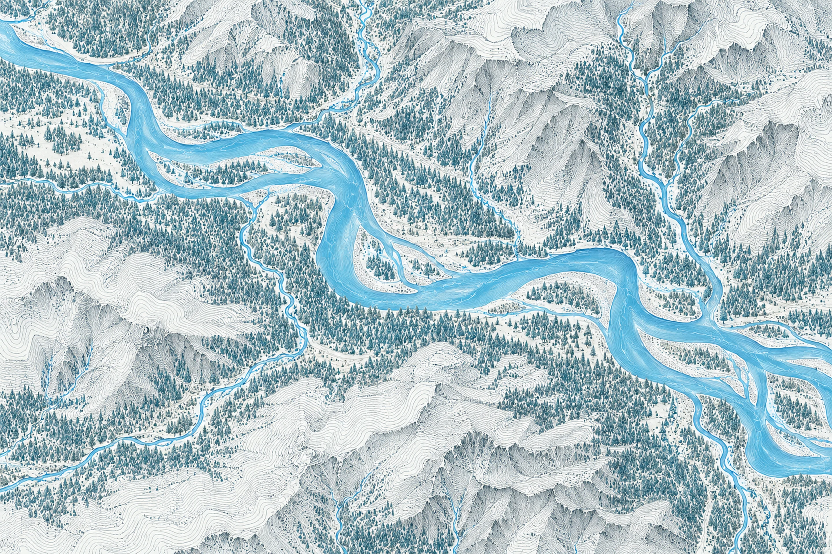
Illustrated map of Cowlitz River at Randle

River stage

Arlington, Stillaguamish River

River level
0.10 ft
Status
Below flood stage
Action stage
12.50 ft
Flood stage
14.00 ft
Record crest
21.34 ft

Last reported 2026-10-13 | NWS ARLW1

Record crest
21.34 ft
Flood stage
14.00 ft
Moderate flood
17.50 ft
Major flood
19.00 ft
Crest date
2023-12-05

In brief

The Stillaguamish River at Arlington, WA read 0.10 ft on Oct 13, 2026, 12.40 ft below action stage.

Source: National Weather Service gauge ARLW1

Stage threshold profile

Action stage 12.50 ftMinor flooding 14.00 ftModerate flooding 17.50 ftMajor flooding 19.00 ft CURRENT 0.10 ft

Highest crests on record

RankCrestDate
1 21.34 ft 2023-12-05
2 21.29 ft 2010-12-12
3 21.06 ft 2006-11-06
4 20.82 ft 2009-01-08
5 20.75 ft 2003-10-21
6 20.50 ft 2015-11-17
7 19.95 ft 1990-11-24
8 19.82 ft 1961-02-21

Flood crests recorded at this gauge by the National Weather Service.

What happens at each level

  1. 14.00 ft

    the Stillaguamish River will locally spill over its banks. Minor flooding around Silvana will occur...including over Pioneer Highway. A stage of 14 feet on the Stillaguamish River corresponds roughly to Phase 2 in the Snohomish County Flood program.

  2. 16.00 ft

    the Stillaguamish River will cause minor flooding mainly in the Silvana area...including over Pioneer Highway and along Norman Rd. A stage of 16 feet on the Stillaguamish River corresponds roughly to Phase 2 in the Snohomish County Flood program.

  3. 17.00 ft

    the Stillaguamish River will cause flooding mainly in the Silvana area, along Norman Road and in Florence. A stage of 17 feet on the Stillaguamish River corresponds roughly to Phase 3 in the Snohomish County Flood program.

  4. 18.00 ft

    the Stillaguamish River will flood many roads including Hwy 530...Pioneer Highway...Marine Drive and numerous locations along Norman Rd. Swift waters will flood residential areas near Silvana...Norman and Florence. A stage of 18 feet on the Stillaguamish River corresponds roughly to Phase 3 in the Snohomish County Flood program.

  5. 19.00 ft

    the Stillaguamish River will cause major flooding. Deep and swift waters will flood many roads including Pioneer Highway...Hwy 530...Marine Drive and Norman Rd. Swift waters will flood residential areas near Silvana...Norman...Florence and Stanwood. Flooding will occur all along the river including headwaters...tributaries...and other streams within and near the Stillaguamish River Basin. A stage of 19 feet on the Stillaguamish River corresponds to Phase 4 in the Snohomish County Flood program.

  6. 20.00 ft

    the Stillaguamish River will cause near record major flooding. Deep and swift flood waters will inundate many roads including Highway 530 east of Arlington and at Island Crossing and most valley roads downstream of I-5 to Stanwood. Levees are subject to overtopping and damage. Flooding will occur all along the river including headwaters...tributaries...and other streams within and near the Stillaguamish River Basin. This stage corresponds to Phase 4 in Snohomish County flood program.

  7. 21.00 ft

    the Stillaguamish River will cause severe record flooding. Deep and swift flood waters will inundate many roads including Highway 530...Marine Drive and Norman Rd and residential areas in Silvana...Norman... Florence...and Stanwood. Levees are subject to overtopping and damage. Flooding will occur all along the river including headwaters...tributaries...and other streams within and near the river basin. This stage on the Stillaguamish corresponds to a Phase 4 in the Snohomish County flood program.

Written by the local National Weather Service forecast office for this exact gauge.

Frequently asked questions

Is the Stillaguamish River flooding at Arlington?

No. The Stillaguamish River at Arlington is at 0.1 ft, 12.4 ft below action stage.

What is the flood stage at Arlington?

The National Weather Service sets action stage 12.5 ft, minor flooding 14 ft, moderate flooding 17.5 ft and major flooding 19 ft.

What is the highest the Stillaguamish River has been at Arlington?

The highest crest on record is 21.34 ft, on 2023-12-05.

Stage and flood information from the NOAA National Weather Service (gauge ARLW1); daily history from the U.S. Geological Survey (site 12167400). Last reading 2026-10-13. For flood safety decisions always follow official National Weather Service warnings.