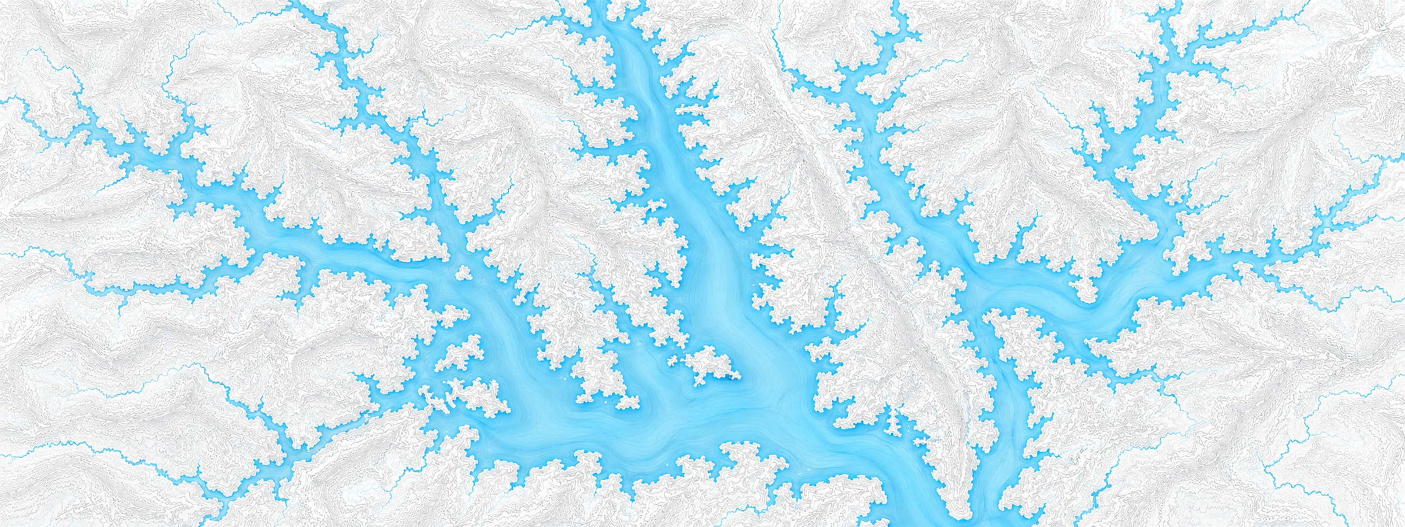
- 32.00 ft
Water begins to approach and impact low lying areas along the river, and backs up adjacent tributaries including the Caney Fork River, Ward Creek, Peytons Creek, Round Lick Creek, Wilburn Creek, Dixon Creek, Goose Creek, and Little Goose Creek. Water approaches Watervale Ln/County House Cir and the Carthage Speedway.
- 35.00 ft
Agricultural and low lying areas along the river are impacted by high water, as well as adjacent tributaries including the Caney Fork River, Ward Creek, Peytons Creek, Round Lick Creek, Wilburn Creek, Dixon Creek, and Goose Creek. Athletic fields along Little Goose Creek in Hartsville are covered with water, as well as portions of Watervale Ln/County House Cir. Water approaches properties along Swope Rd, Industrial Dr, Jefferson Ave West, and Upper Ferry Rd in Carthage.
- 37.00 ft
Water continues to impact agricultural and low lying areas along the river, and is impacting roads and properties near Watervale Ln/County House Cir in the Watervale community, the Carthage Speedway, and Swope Rd, Industrial Dr, Jefferson Ave West, and Upper Ferry Rd in Carthage. Athletic fields in Hartsville along Little Goose Creek are flooded as well as portions of Latti Reese Rd, and water approaches the conty park on Lock 7 Ln, and property near the Walmart Supercenter in Carthage.
- 40.00 ft
Water is impacting areas along the river and adjacent tributaries including the Caney Fork River, Ward Creek, Peytons Creek, Round Lick Creek, Wilburn Creek, Dixon Creek, and Goose Creek. In Carthage, Upper Ferry Rd, 3rd Ave West, Swope Rd, Industrial Rd are impacted, with residential, commercial, and industrial properties near these roads becoming impacted at higher levels. In Hartsville, water is covering Latti Reese Rd near Hwy 10 and flooding athletic fields in town.
- 43.00 ft
Widespread flooding is occurring along the river and the adjacent tributaries. In Carthage, water is impacting businesses near Hwy 25 and Myers St, and commercial and residential structures along Upper Ferry Rd, 3rd Ave West, Swope Rd, Industrial Rd, Jefferson Rd, and Riverside Rd North. In Hartsville, properties and structures near Main St and Broadway, and portions of Latti Reese Rd are flooded.
- 45.00 ft
Flooding continues to impact agricultural, residential, and commercial properties along the river and the adjcent tributaries. In Carthage, many properties along Upper Ferry Rd and west of Main St area impacted. In Hartsville, properties and structures near Main St and Broadway, as well as homes on River Front Estates Rd and Latti Reese Rd are impacted. Water begins to impact property at the Bonnell Aluminum plant near Grodonsville, and approaches Cumberland Mine Rd near Carthage.
- 47.00 ft
Flooding along the river and adjacent tributaries is affecting residential, commercial, and industrial areas. In Carthage, water approaches Hwy 25 at Myers St and Upper Ferry Rd, and is flooding numerous properties west of Main St. In Hartsville, significant flooding of structures near Main St and Broadway begins, and water is covering Latti Reese Rd and Lock 6 Rd. Near Gordonsville, water approaches Gordonsville Hwy at the Ag Center, and water reaches the Bonnell Aluminum plant building.
- 50.00 ft
Significant flooding is occurring along the river and the adjacent tributaries, affecting residential, commercial, and industrial areas in and near Carthage, Hartsville, and along the Caney Fork near Gordonsville. Water is impacting many properties west of Main St in Carthage, covering the Gordonsville Hwy at the Smith County Ag Center, and approaching the Dixon Springs Hwy near Riddleton. In Hartsville, flooding of numerous structures near Main St and Broadway is occurring.
Written by the local National Weather Service forecast office for this
exact gauge.