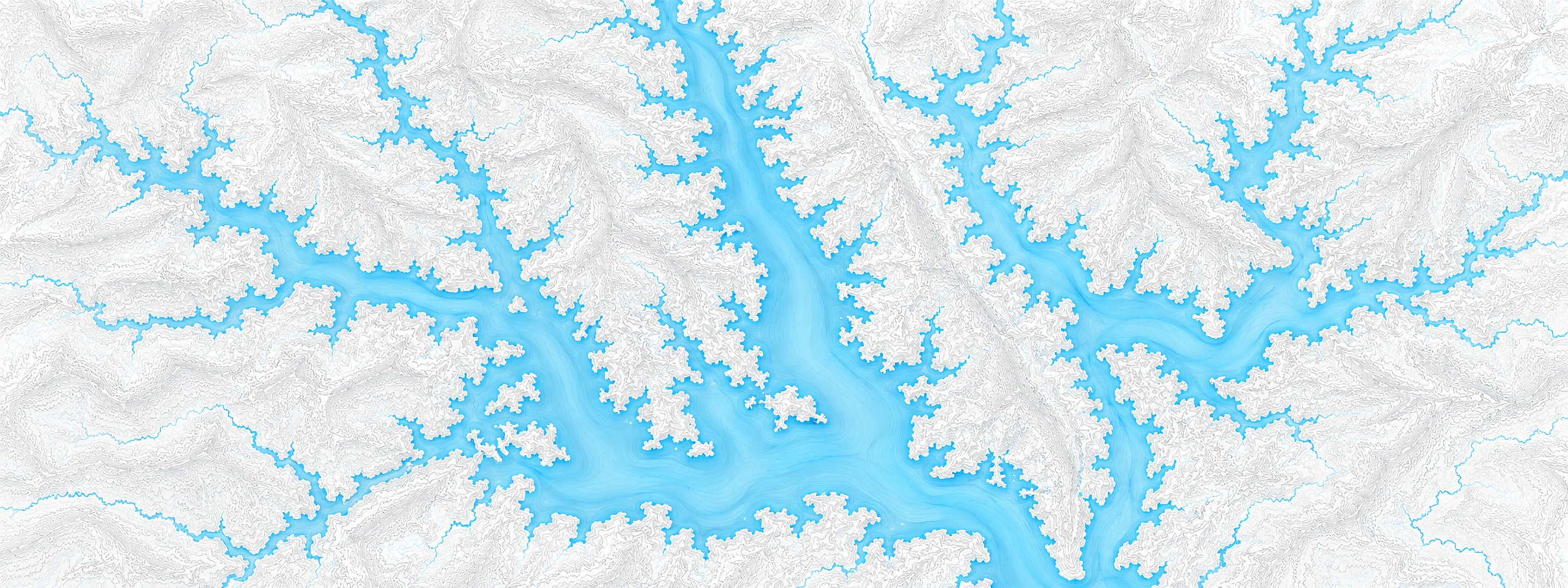
- 40.00 ft
Low lying areas along the river, including agricultural areas, access points, and portions of Riverfront Park on North Riverside Dr begin to be inundated. Water also backs up adjacent tributaries, including Bartons Creek, Red River, West Fork Red River, and Yellow Creek.
- 43.00 ft
Water continues to inundate low lying areas along the river, including agricultural areas, access points, portions of Riverfront Park on North Riverside Drive, and low lying areas of industrial property on Zinc Plant Rd. Water also backs up adjacent tributaries, including Bartons Creek, Red River, West Fork Red River, and Yellow Creek.
- 45.00 ft
Water approaches commercial and industrial properties on South Riverside Dr near TN-48, North Riverside Dr near Providence Blvd East, Quarry Rd, Kraft St near College St, and Zinc Plant Rd. Water also continues to inundate agricultural areas and parks along the river, and adjacent tributaries including Bartons Creek, Red River, West Fork Red River, and Yellow Creek.
- 46.00 ft
Flood waters begin to impact areas along the river, including agricultural and commercial properties, Riverfront Park, and adjacent tributaries including Bartons Creek, Red River, West Fork Red River, and Yellow Creek. Affected locations include South Riverside Dr near TN-48, North Riverside Dr near Providence Blvd East, Quarry Rd, Kraft St near College St, and Zinc Plant Rd. Water approaches properties near Salem Rd and Seven Mile Ferry Rd.
- 48.00 ft
Flooding continues to impact agricultural, industrial, and commercial properties, Riverfront Park, and adjacent tributaries including Bartons Creek, Red River, West Fork Red River, and Yellow Creek. Impacted locations include Riverside Dr near TN-48 and Providence Blvd, Quarry Rd, Kraft St near College St, Zinc Plant Rd, and properties near Salem Rd and Seven Mile Ferry Rd. Water approaches properties near Kraft St and Providence Blvd, and begins to cover Riverside Dr at Mc Clure St and near Cumberland Dr.
- 50.00 ft
Most agricultural areas along the river are flooded, as well as many industrial and commercial properties, Riverfront Park, and adjacent tributaries. Riverside Dr in Clarksville begins to flood near TN-48, Providence Blvd, Mc Clure St, and Cumberland Dr. Also impacted are locations near Quarry Rd, Kraft St near College St and Providence Blvd, Zinc Plant Rd, Salem Rd, and Seven Mile Ferry Rd. Water approaches athletic fields near Greenland Farms Dr, and properties on Branch Rd.
- 53.00 ft
Agricultural, industrial, and commercial properties along the river and its adjacent tributaries continue to be flooded. Portions of Riverside Dr are flooded between Cumberland Dr and Providence Blvd and may be impassable, as well as locations near Quarry Rd, Kraft St at College St and Providence Blvd, Zinc Plant Rd, Salem Rd, and Seven Mile Ferry Rd. Water is also flooding athletic fields near TN-48 and Greenland Farms Dr, and properties on Branch Rd.
- 55.00 ft
Significant flooding is occurring along the river and its adjacent tributaries in Montgomery County. Portions of Riverside Dr are flooded between Cumberland Dr and Providence Blvd and are impassable, as well as locations near Quarry Rd, Kraft St at College St and at Providence Blvd, Branch Rd, Zinc Plant Rd, Salem Rd, and Seven Mile Ferry Rd. Water is also flooding athletic fields near Greenland Farms Dr, and approaches property on TN-48 near the Greenland Farms intersection.
- 57.00 ft
Significant flooding continues along the river in Montgomery County. Portions of Riverside Dr are flooded between Cumberland Dr and Providence Blvd and are impassable, as well as locations near Quarry Rd, Kraft St at College St and at Providence Blvd, Branch Rd, Zinc Plant Rd, Salem Rd, and Seven Mile Ferry Rd. Water is also flooding areas near TN-48 and Greenland Farms Dr, and water beings to approach the intersection of US-41 and TN-48.
- 60.00 ft
Extensive flooding is occurring along the river and its adjacent tributaries. Many primary roads near the river in Clarksville and other areas of Montgomery County are flooded and impassable, including Riverside Dr, Kraft St, US-41, TN-48, Branch Rd, Zinc Plant Rd, Salem Rd, and Seven Mile Ferry Rd.
Written by the local National Weather Service forecast office for this
exact gauge.