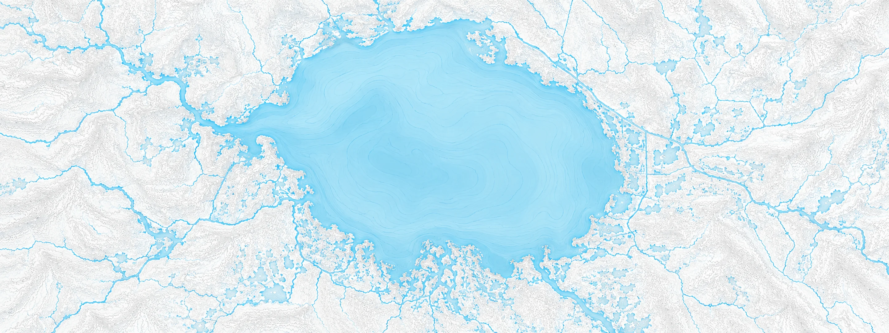
River stage
Sanford, St. Johns River
- River level
- 4.03 ft
- Status
- Below flood stage
- 7-day change
- +0.91 ft
- Recent high
- 4.03 ft
- Recent low
- 0.67 ft
Last reported 2026-10-13 | NWS SNFF1
- 30-day change
- +1.53 ft
- Average
- 1.68 ft
- Readings
- 122
- Data span
- 122 days
- Record crest
- 8.96 ft
In brief
The St. Johns River at Sanford, FL read 4.03 ft on Oct 13, 2026, 0.17 ft below action stage. That is 1.53 ft higher than 30 days earlier.
Source: National Weather Service gauge SNFF1
River level timeline
Stage threshold profile
Highest crests on record
| Rank | Crest | Date |
|---|---|---|
| 1 | 8.96 ft | 2022-10-09 |
| 2 | 7.89 ft | 2008-09-02 |
| 3 | 7.51 ft | 2004-10-04 |
| 4 | 7.23 ft | 2017-09-23 |
| 5 | 7.20 ft | 2017-10-08 |
| 6 | 7.16 ft | 2024-10-18 |
| 7 | 7.00 ft | 2022-11-10 |
| 8 | 6.55 ft | 1994-11-26 |
Flood crests recorded at this gauge by the National Weather Service.
What happens at each level
- 4.20 ft
No wake zone and parks closed along the river, also some boat ramps closed.
- 5.50 ft
Water surrounds homes and covers some driveways in the Stone Island area near Enterprise in Volusia County. Water enters yards and floods docks in the River Oaks Estates subdivision.
- 6.00 ft
Water encroaches on low lying roads, also pool enclosures and patios in the Stone Island area.
- 6.20 ft
Water completely surrounds many homes in the Stone Island and Still Brook subdivisions. Pool enclosures and patios become flooded. Water covers many of the roads. Flooding occurs on Enterprise Road and in the Bethel Loop subdivision.
- 6.50 ft
Water enters a few lower lying homes in the Stone Island and Stillbrook subdivisions. The road into Stone Island becomes impassable. Water rises onto low lying property near Sanford. Parks and docks are flooded near Lake Monroe.
- 7.00 ft
Water begins to move over sea wall around Lake Monroe and rises into grassy areas around the sea wall. Water begins to encroach on Seminole Boulevard.
- 7.40 ft
Many secondary roads are flooded and may become impassable around Lake Monroe and in Enterprise. Rising water begins to impact more areas of Stone Island and water approaches homes in River Oaks Estates.
- 8.00 ft
Flooding becomes more significant to low lying structures and marinas along the river in Volusia and Seminole counties, including Sanford, Enterprise and Lake Monroe.
- 9.00 ft
Flooding becomes more significant to the Sanford waterfront area. Water approaches low lying areas on the waterfront.
- 9.50 ft
Water encroaches on Sanford Landing Apartments and other low lying structures along the waterfront.
Written by the local National Weather Service forecast office for this exact gauge.
Frequently asked questions
Is the St. Johns River flooding at Sanford?
No. The St. Johns River at Sanford is at 4.03 ft, 0.17 ft below action stage.
What is the flood stage at Sanford?
The National Weather Service sets action stage 4.2 ft, minor flooding 5.5 ft, moderate flooding 7 ft and major flooding 8 ft.
What is the highest the St. Johns River has been at Sanford?
The highest crest on record is 8.96 ft, on 2022-10-09.
Is the St. Johns River high or low right now at Sanford?
At 4.03 ft it is higher than 99% of readings over the last 122 days.
Stage and flood information from the NOAA National Weather Service (gauge SNFF1); daily history from the U.S. Geological Survey (site 02234500). Last reading 2026-10-13. For flood safety decisions always follow official National Weather Service warnings.